Are you an avid hiker looking for a vacation rental in Victoria, BC Canada? You’re in luck! Not only can you find a collection of incredible vacation rentals around the capital city but some of the best hiking trails and regional parks on Vancouver Island are right nearby! Whether you’re staying in the stunning seaside town of Sooke, right in the heart of downtown Victoria, or in picturesque Saanich, we’ve rounded up all the very best hikes in Victoria from easy family friendly strolls to epic elevation gains that you can get to easily no matter where you are staying!
Thetis Lake Regional Park
Rating: Easy
Good for: Everyone
Located right on the border of Langford and Westshore, Thetis Lake is one of the most popular spots for hiking in Greater Victoria and offers an easy way to hike in the Capital Region! With the trailhead right at the parking lot, you’ll find that navigating the trails in this regional park is really easy and the forested trails are gorgeous! In the warm weather, pack a towel and wear your swimsuit as you’ll be able to find many areas where you can take a dip in the cool, refreshing waters before you carry on your hike! Be sure to check whether the water is safe to swim in before you go though, as there are algae blooms that can happen in warmer weather!
Goldstream Provincial Park
Another popular hiking spot near Langford is the beautiful Goldstream Provincial Park! With tons of well-maintained trails throughout the park you’ll find trails for all skill levels. Its convenient location makes it ideal for anyone staying in Greater Victoria to enjoy a day on the trails exploring peaks and finding waterfalls!
Goldstream Falls
Rating: Easy
Good for: Everyone
Considered an easy route, this 3 kilometre trail is a great way to explore some of the best features of Goldstream! Starting right at the campground area, you can follow the clearly marked trail that will take you straight to Goldstream Falls and then loop around back to the campground parking lot. This is a great trail for kids and pets although dogs must be leashed the entire time.
Mount Finlayson
Rating: Moderate to difficult
Good for: casual hikers and older children
If you’re looking for a major elevation gain, you’ll want to tackle Mount Finlayson! This heart pumping hike will take you up to the top of the mountain where you’ll find vibrant wildflowers and is one of the best viewpoints in the area! From the summit, you can see Downtown Victoria, the Juan de Fuca Strait and the distant Olympic Mountains
Gowlland Tod Provincial Park
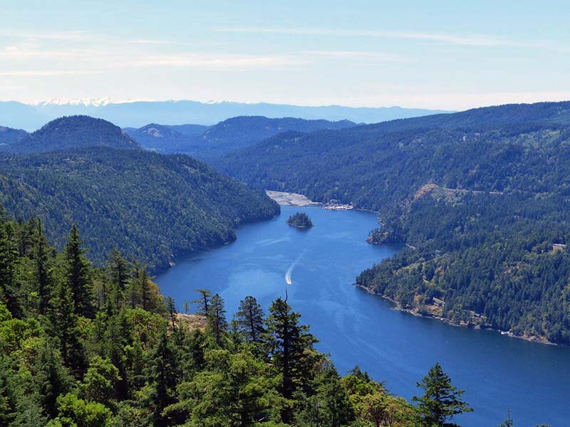
If you’re looking for a great hiking spot where you can enjoy some incredible natural beauty in Saanich, you’ll want to explore Gowlland Tod! Located in the Highlands area of Saanich right on the edge of the Saanich Inlet, you’ll find this park is filled with well maintained trails for every skill level with stunning views, secret beaches and pristine forest to explore! Whether you’re looking for a peaceful nature walk or a more challenging trek, Gowlland Tod Provincial Park is the perfect place to explore the beautiful nature of British Columbia.
Jocelyn Hill
Rating: Moderate – difficult
Good for: fit runners, casual hikers, older children
One of the most popular hiking spots in Gowlland Tod is undoubtedly Jocelyn Hill. With an easy-to-find trailhead right at the parking lot at the end of Caleb Pike Rd., hikers can find numerous trails, all rated moderately challenging that offer incredible views of the Saanich Inlet at the summit.
Holmes Peak
Rating: Moderate
Good for: Casual hikers, older children – young children may be able to tackle this with lots of breaks and help
This short out and back trail in Gowlland Tod Park is a great way to spend an hour in nature! Considered a moderate trail, you can enjoy the quick hike through the forests, enjoy the views and be back in time for tea! Popular with hikers, runners and birders, you’re more than likely to meet other people on this beautiful trail as well!
Mount Work Regional Park
Gowlland Tod’s neighbour, Mount Work is a popular location for hikers in Victoria! Located on the shores of the Saanich Peninsula, Mount Work’s trails are generally rated moderate to difficult and are ideal for hikers who have the stamina to tackle elevation gains safely. That said though, if you prepare with enough water and fuel, there are many locations on all the trails to take breaks and enjoy the scenery before carrying on. No matter how you decide to tackle this mountain, once you reach the top, you’ll be rewarded with 360º views of the Inlet, the Cowichan Valley, the Saanich Peninsula, local Gulf Islands and even the distant Olympic Mountains in the US!
McKenzie Bight
Rating: Moderate
Good for: Casual hikers and families with older children – young children may be able to tackle this with lots of breaks and help
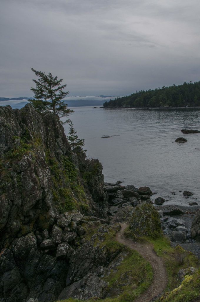
If you’re looking for a short but moderately challenging trail with a beautiful beach to explore at the end, you’ll want to take on the McKenzie Bight trail. Ideal in the cooler months when it is less populated, this trail leads to a pebbly beach and is a great place to enjoy the tranquillity of nature on the west coast. Dogs are welcome but must be on a leash!
Sooke Potholes Provincial Park
Rating: Easy
Good for: Everyone!
Local hikers absolutely love Sooke Potholes – for good reason! This gorgeous park near the charming coastal town of Sooke is an ideal hiking trail all year-round and is the location of one of the most unique natural attractions in British Columbia! The potholes that this park is named for are naturally formed pools made from thousands of years of water rushing over the rock. The result are smooth rock pools of various sizes and depths that glitter turquoise in the summer sun. If you’re exploring this area during warm weather, be sure to pack a towel and take a dip in one of the most beautiful natural swimming spots on Vancouver Island!
Mount Douglas
Rating: Easy – moderate
Good for: Everyone!
Located on the border between Victoria and Saanich, this mountain is a popular location for locals to get outdoors to stay fit! Known as one of the best hikes in Greater Victoria, you can find trails throughout the mountain park for everyone! With easier trails that circumnavigate the base of the mountain to heart pounding elevation gains that take you to the upper levels of the peak and views of Victoria, no matter what kind of hike you’re looking for, Mount Douglas is a great option!
Lone Tree Hill Regional Park
Rating: Moderate
Good for: Everyone! It’s short enough for kids to tackle as well
One of the shortest hikes on the list is this one – but don’t let that fool you! This steep 1.5 km trail is on a consistent incline but the payoff is incredible with stunning views at the top. If you’re short on time and want to get that heart rate up and some steps in, this is a great trail to choose!
Mount Tolmie
Rating: Easy
Good for: Everyone!
In second place for the most popular hike in the Capitol Region is undoubtedly Mount Tolmie. This beloved hike is a nice easy 1.5 km hike at the top of the mountain and is a popular spot for families to go on a sunny day to enjoy the 360 degree views of Victoria, the Juan de Fuca Strait and beyond! At the summit, there are lots of spots that are perfect to lay out a blanket and enjoy a picnic so if you’re looking for an easy way to enjoy a great view, this is where you’ll want to go!
East Sooke Regional Park
Located on the westernmost shores of Southern Vancouver Island on the edge of the ocean, East Sooke Regional Park is a magical place to explore! With over 50 km of trails that wind throughout this expansive park, you can find easy, sun-dappled paths to steep climbs and everything in between! Here, you can stumble across hidden coves and beaches, find epic cliffs with the churning ocean below, see majestic eagles soaring overhead, and if you’re lucky you may even spot a pod of whales off the shores! This is also a great place to launch a kayak and explore the wild, windswept shores!
Aylard Farm
Rating: Moderate
Good for: casual hikers and older children
This gorgeous hike on the south end of East Sooke Regional Park is a real choose your own adventure! While the most popular 10 km trail takes you along the coast and loops around through the park leading back to the parking lot, you can extend your hike through the park, stop at one of the beaches or turn around and head back to enjoy more of the coast! Just be sure to keep track of your location on a map and make sure dogs are leached!
Trails Outside of Victoria, BC
Kinsol Trestle
Rating: Easy
Good for: Everyone including strollers, kids and mobility assisted visitors
If you’re ready to explore a little further afield, then you’ll want to head up the Malahat to the Cowichan Valley and explore the Kinsol Trestle section of the Cowichan Valley Trail! This trail is just a 20 minute drive north of Victoria and offers visitors the chance to walk across one of the tallest free-standing wooden trestles in the world! Whether you’re looking for an easy place to enjoy a stroll with kids or people with mobility issues or if you’re looking for a moderate trail where you can get in a good hike and explore the area, here, you can do both!
Mystic Beach
Rating: Easy
Good for: Everyone!
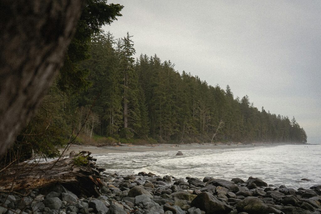
A 30-40 minute drive north of Sooke will take you to one of the most stunning places on Vancouver Island. Mystic Beach with its pebbled shores, waterfalls and wide caves is a magical place to explore and the hike to get to the beach is almost as stunning! The short out and back trail takes you through old growth forest and is a mix between well-maintained chip trails and boardwalks through the trees. A popular place for locals to visit, you’re likely to find other people enjoying the trail and beach, especially in the warmer months!


